- Noticias Feed
- EXPLORE
- Blogs
-
 FAQ
FAQ
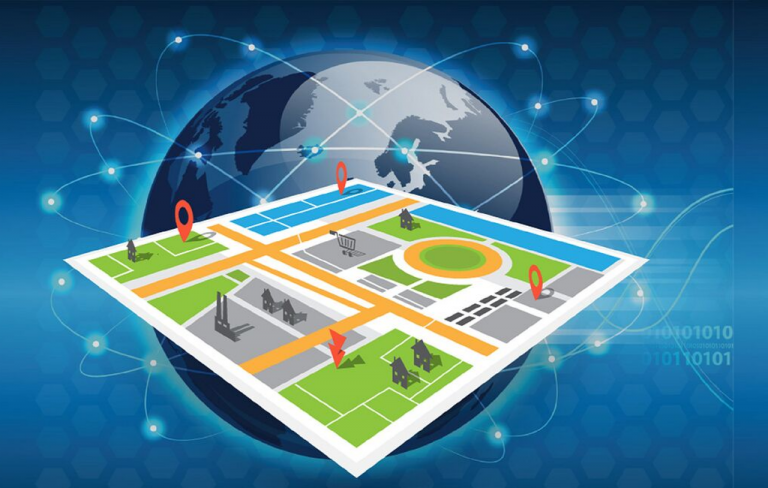
Mapping the Future: Advancements and Trends in Geospatial Analytics for 2025 and Beyond
Introduction
Geospatial analytics is reshaping how governments, businesses, and organizations understand and engage with spatial data, driving smarter decision-making and enhanced operational efficiency. It combines geographic information systems (GIS), remote sensing, AI, and IoT to unlock actionable insights from location-based data, crucial for sectors such as urban planning, natural resource management, transportation, and disaster response.
Growth Trajectory and Market Outlook
According to Straits Research, the global geospatial analytics sector was valued at USD 83.93 billion in 2024 and is projected to expand from USD 93.92 billion in 2025 to reach USD 230.88 billion by 2033, growing at a CAGR of 11.9% during the forecast period (2025–2033). This robust growth is powered by technological advances in AI, cloud computing, real-time data integration, and the rise in geospatial applications across multiple industries worldwide.
Leading Players and Competitive Landscape
Several companies stand out, driving innovation and expanding geospatial analytics capabilities:
-
Esri (USA): Pioneer in GIS software, Esri’s ArcGIS platform integrates AI and machine learning for predictive analytics, real-time spatial insights, and digital twins supporting urban and environmental planning.
-
Hexagon AB (Sweden): Offers spatial analytics combined with sensor data and IoT integration, focusing on manufacturing, agriculture, and infrastructure management with cloud-based geospatial intelligence.
-
HERE Technologies (Netherlands): Specializes in location data and mapping platforms, recently launching the HERE GIS Data Suite to enhance GIS professionals’ efficiency with ready-to-use datasets and AI integration.
-
Trimble Inc. (USA): Provides geospatial hardware and software solutions for surveying, construction, and agriculture, continuously innovating in drone-based mapping and real-time GIS analytics.
-
Maxar Technologies (USA/Canada): Leading provider of satellite imagery combined with AI-powered analytics for defense, energy, and environmental monitoring.
-
Leica Geosystems (Switzerland): Known for high-precision surveying equipment integrated with advanced geospatial analytics for construction, mining, and transportation industries.
-
Orbital Insight (USA): Uses AI and satellite imagery to extract urban and economic insights, melding big data analytics with geospatial expertise.
-
Planet Labs (USA): Deploys satellite constellations delivering daily global imagery supporting real-time environmental and agricultural analytics.
-
Google Earth Engine (USA): Provides global-scale environmental data analysis tools combining cloud computing and AI, widely used by researchers and governments.
-
DigitalGlobe (Maxar subsidiary): Offers high-resolution earth imaging linked with AI for intelligence and disaster management applications.
Country-Wise Highlights and Regional Adoption
United States
The US leads adoption due to significant investment in satellite infrastructure, AI research labs, and enterprise GIS deployments. Federal agencies like NASA and NOAA extensively utilize geospatial analytics for environmental monitoring and disaster management, with private sector giants like Esri and Planet Labs driving innovation.
Europe
European countries focus on smart city initiatives, broadband mapping, and climate resilience programs, integrating Hexagon technologies with public sector spatial data infrastructures. HERE Technologies supports transit, retail, and energy sectors with high-accuracy location data and analytics.
Asia-Pacific
Rapid urbanization and infrastructure projects in China, India, and Japan accelerate geospatial technology adoption. Governments prioritize disaster management, land use planning, and agricultural efficiency, supported by local and international players like Trimble and Leica Geosystems.
Latin America and Africa
Emerging focus on resource management, deforestation monitoring, and urban planning boosts geospatial analytics use. NGOs and governments harness satellite data and cloud GIS to tackle environmental and social challenges where ground data collection remains difficult.
Technological Trends Reshaping Geospatial Analytics
-
AI and GeoAI: Artificial intelligence automates spatial data processing, pattern recognition, and predictive modeling. GeoAI enhances feature extraction from satellite and drone imagery, facilitating automated disaster prediction and land use mapping.
-
Real-Time Data Integration: IoT sensors and 5G connectivity enable real-time GIS applications for traffic flow management, environmental monitoring, and asset tracking, enhancing responsiveness.
-
Digital Twins: Realistic 3D models of physical assets and urban environments allow simulation, scenario testing, and real-time monitoring for infrastructure maintenance and city planning.
-
Cloud Computing: Cloud GIS platforms offer scalable processing power, enabling complex spatial analysis accessible globally and integrating with big data ecosystems.
-
3D and 4D Spatial Visualization: Advanced visualization through layered 3D and 4D data models supports urban design, underground utility management, and temporal environmental studies.
-
Privacy and Data Security: Heightened focus on ethical geospatial data use, data anonymization, and adherence to regulations safeguard personal and sensitive location information.
-
Metaverse and Spatial Computing: Emerging spatial technologies and virtual platforms harness geospatial data to create immersive digital experiences for urban planning, real estate, and tourism.
Recent News Highlights
-
HERE Technologies: Launched the HERE GIS Data Suite in July 2025, facilitating seamless integration with Esri platforms for enhanced GIS workflows and AI-driven analytics.
-
Earth Systems: Introduced a Remote Sensing and AI Solutions platform in June 2025, delivering advanced geospatial intelligence by combining satellite imagery with cloud-based AI analysis.
-
Nvidia Earth-2 Project: Combines AI, physics simulations, and geospatial data to advance climate modeling and real-time environmental monitoring.
-
Smart City Deployments: Governments worldwide increasingly invest in IoT sensors combined with GIS to manage traffic, air quality, and utilities in real-time.
-
GeoAI Innovations: Growing use of GeoAI automates feature extraction and enhances operational decisions in agriculture, forestry, and urban planning across continents.